CH&PA to digitally map house lots from Nov 1 to prevent construction mix-ups
Politics
October 24, 2026
Share this article
Click to view full size
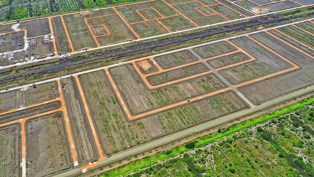
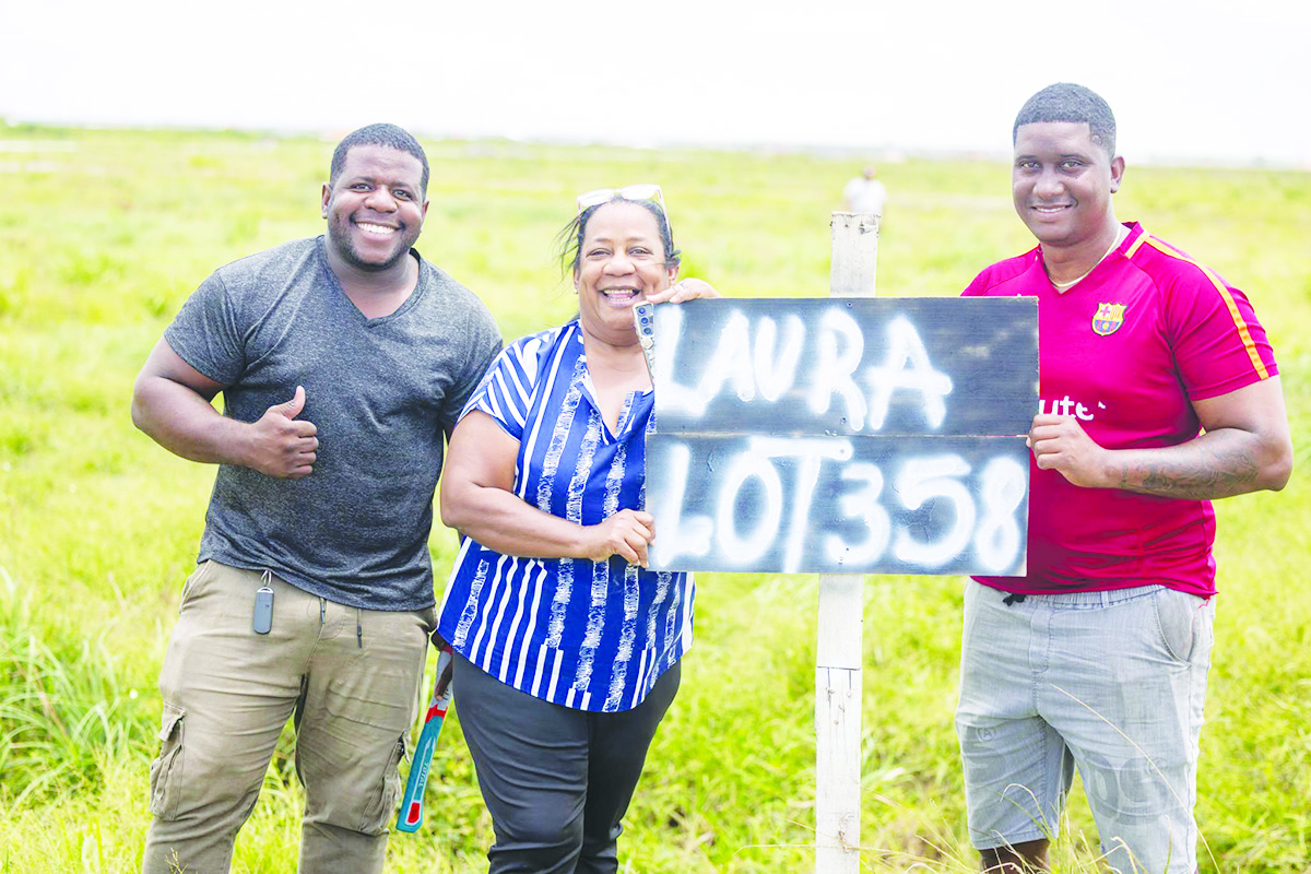
The Central Housing and Planning Authority (CH&PA) will introduce a geo-referencing system for house lot identification nationwide from November 1 allowing precise coordinates and photographic evidence to be recorded for each parcel shown to an allottee.
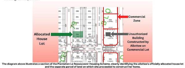
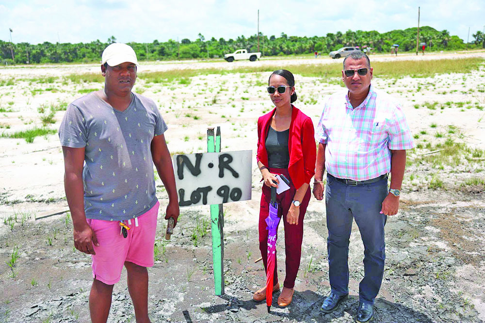
Housing Minister Collin Croal announced the new system while in Bartica, Region Seven (Cuyuni-Mazaruni) explaining that it is intended to improve the accuracy and accountability of the lot identification process and reduce instances of persons mistakenly occupying or constructing on land not allocated to them.
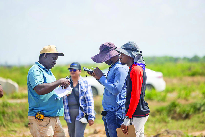
Under the new arrangement, CH&PA surveyors will use geo-referencing technology and tablets to record the precise coordinates and reference points of residential lots during identification exercises. The information will create a digital record of the location and boundaries of each parcel shown to an allottee.
Politics
Need the bigger picture?
Share this article
Comments (0)
Download our mobile app
The portable companion to gazettE. Get notifications, track read articles, and more. The latest news from Trinidad and Tobago, in one place.