Drones map Le Repentir in push for digital grave-finding app
Business
Finance
October 30, 2026
Share this article

Click to view full size
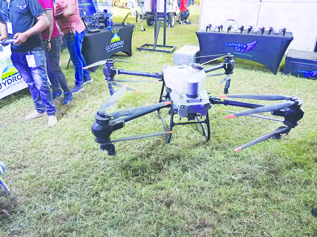
One of the leading drone companies in Guyana, Caliper Drone Services, has mapped the Le Repentir Cemetery in Georgetown using drone technology and geographic information systems (GIS), with the aim of demonstrating how digital tools could help families locate the graves of loved ones and improve the management of the country’s largest burial ground. The project comes as the Government of Guyana undertakes a $350 million programme to clear vegetation at Le Repentir Cemetery and other burial grounds across the country. Established in 1861 the historic Le Repentir cemetery is Guyana’s largest cemetery. It has more than 10,000 tombs spread across an area exceeding 100 acres.
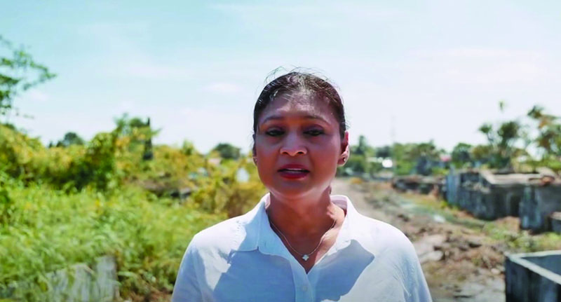
But with the cemetery constantly encumbered by overgrown vegetation obscuring tombs and pathways, Le Repentir Cemetery has long presented challenges for families attempting to locate graves.
The latest clean-up effort has created an opportunity for the mapping exercise, as the removal of vegetation makes it easier to identify tombs and document their locations.
Business
Finance
Need the bigger picture?
Share this article
Comments (0)
Download our mobile app
The portable companion to gazettE. Get notifications, track read articles, and more. The latest news from Trinidad and Tobago, in one place.